
This website uses cookies so that we can provide you with the best user experience possible. Cookie information is stored in your browser and performs functions such as recognising you when you return to our website and helping our team to understand which sections of the website you find most interesting and useful.

Web development and mobile applications
OUR SERVICES
WHAT WE DO

AREAS OF KNOWLEDGE
We combine knowledge and technology to design solutions that best suit our clients’ needs.

MADE BY GEOSLAB
SUCCESS CASES
We offer comprehensive solutions that can range from data collection and processing to the development of analysis and visualisation applications for end users.
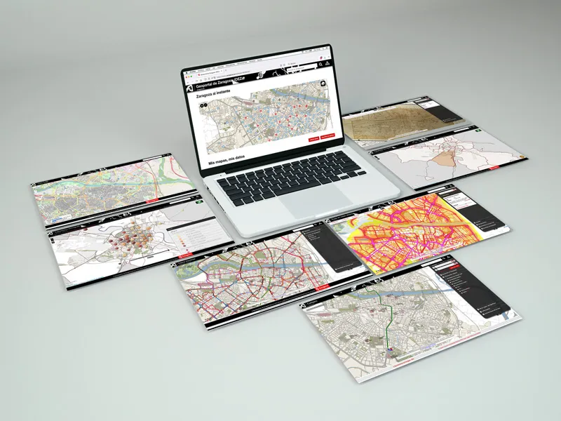
IDEZAR
Spatial Data Infrastructure of Zaragoza
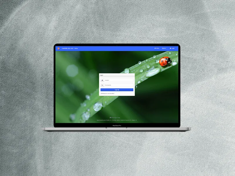
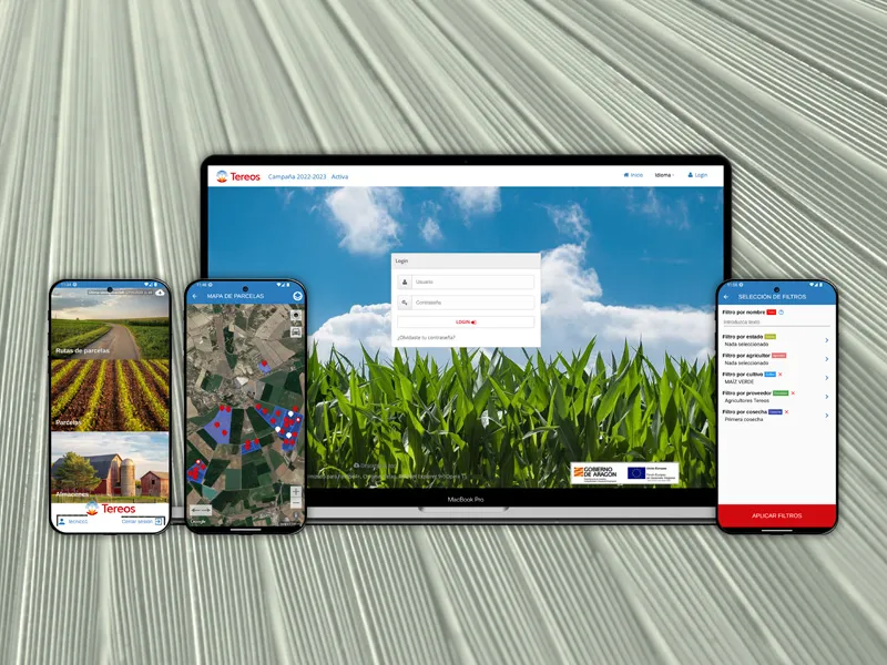
REDFARA
Phytosanitary network of Aragón
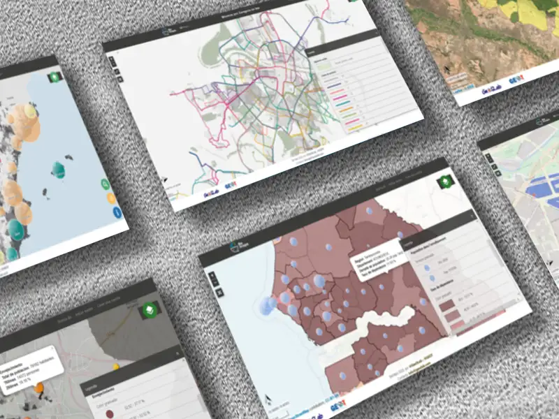
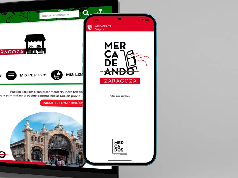
MERCADEANDO ZARAGOZA
Online shopping in the markets of Zaragoza
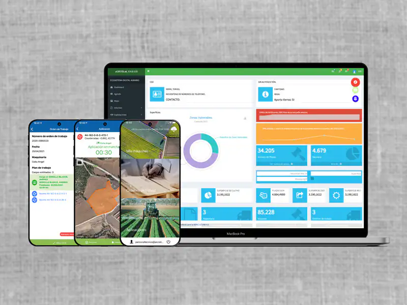
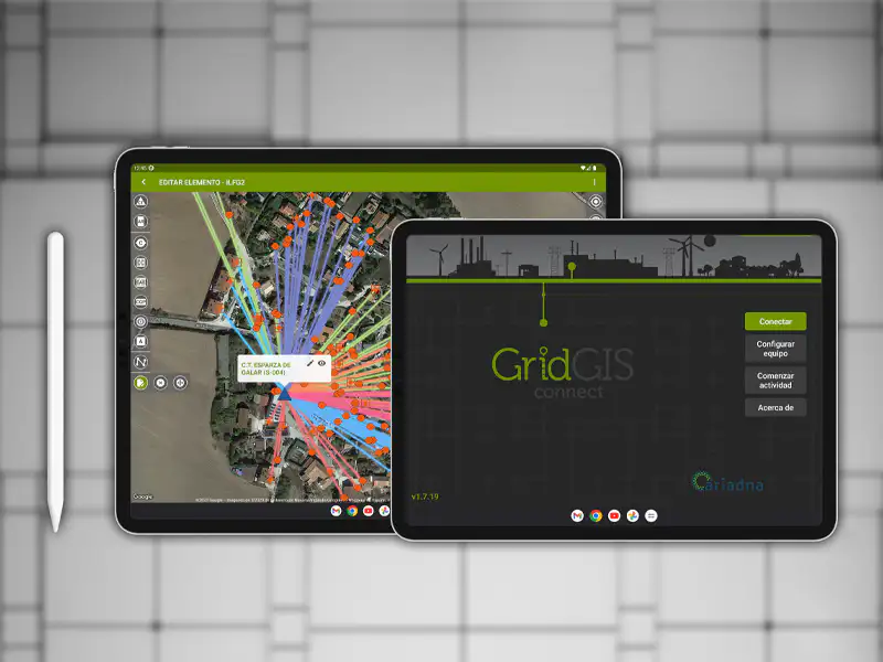
GRIDGIS D-TWIN
Grids digitalisation app of Ariadna Grid
COMMITTED TO OUR CLIENTS
We are committed to building long-term relationships based on transparency and mutual trust.
CONTACT
CAN WE HELP YOU?
If you need more information about us or want to know how we can bring our geolocation expertise to your projects, please get in touch.
Contact form
Protection of personal data. We will use your data to answer queries and perform statistical analysis. For more information about the processing and your rights, please see the Privacy Policy.
This site is protected by reCAPTCHA and the Google Privacy Policy and Terms of Service apply.
Where are we?
GEOSPATIUMLAB S.L. |
| INICIO | NUESTRO TRABAJO | - QUÉ HACEMOS | CLIENTES | NOTICIAS | CONTACTO |
| - CASOS DE ÉXITO | |||||
| - PROYECTOS | |||||
| - I+D |
| INICIO | |
| NUESTRO TRABAJO | - QUÉ HACEMOS |
| - PROYECTOS | |
| - I+D | |
| CLIENTES | |
| NOTICIAS | |
| CONTACTO |