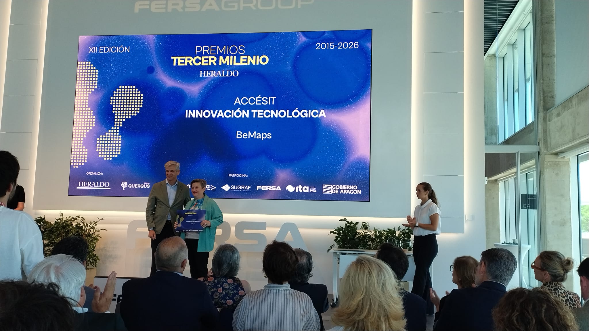
Yesterday it took place the ceremony for the Tercer Milenio Awards, the innovation and science supplement of Heraldo de Aragón, and our BeMaps platform was recognised with a runner-up prize in the Innovation category.



Yesterday it took place the ceremony for the Tercer Milenio Awards, the innovation and science supplement of Heraldo de Aragón, and our BeMaps platform was recognised with a runner-up prize in the Innovation category.
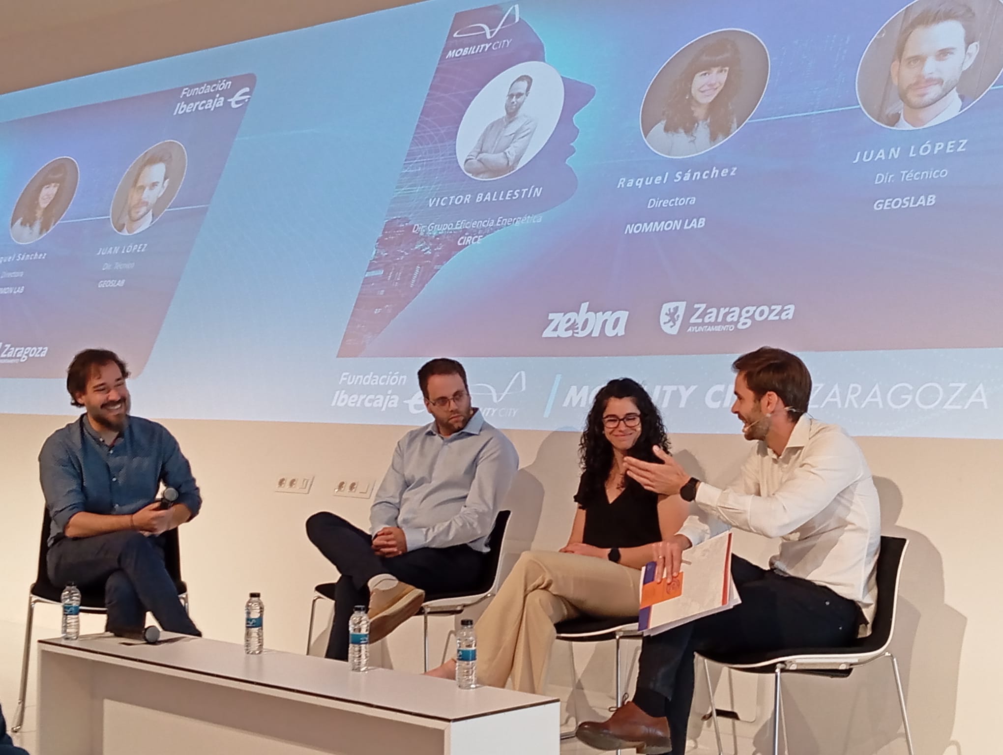
The 10th edition of Mobility City’s Innovation Day took place on 2 June, focused on urban spaces viewed as citizen laboratories that create and develop innovative projects. At Geoslab, we were delighted to take part in a panel of experts to share our vision of the city from a technological perspective and our specific approach […]
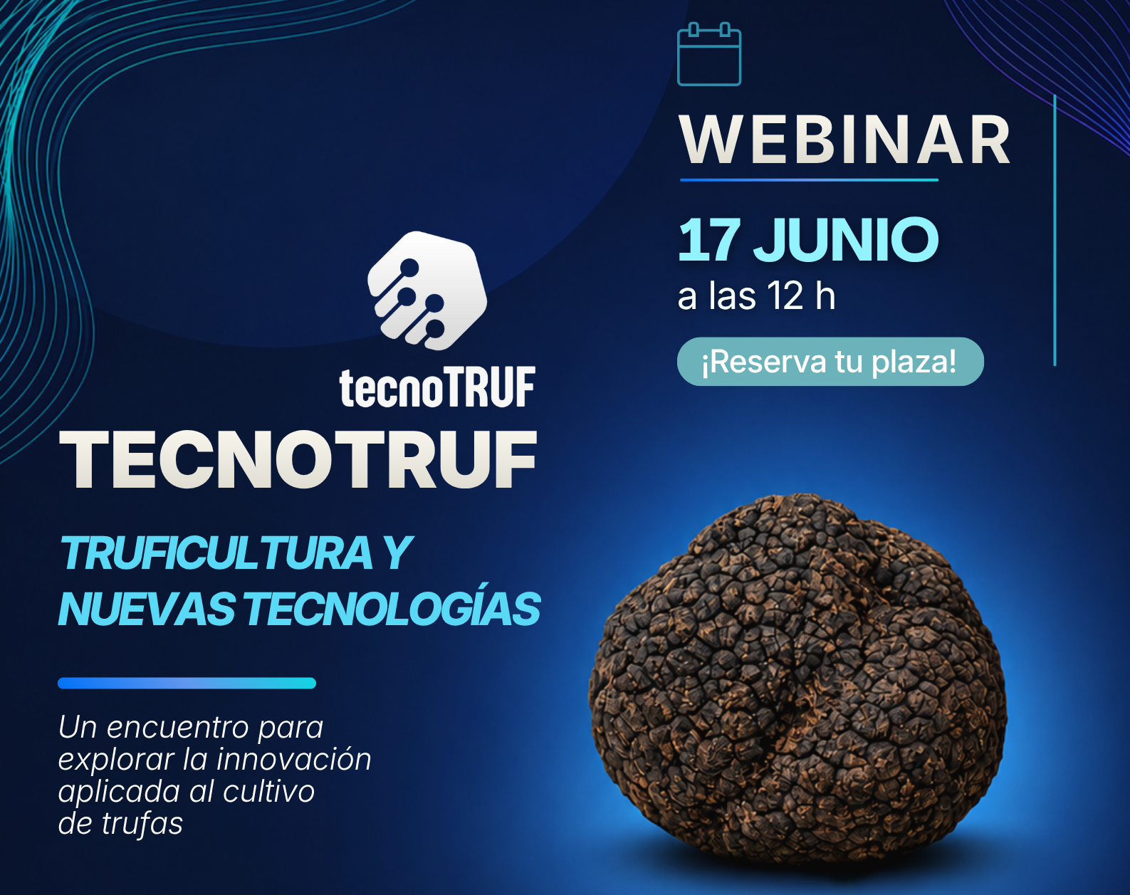
On 17 June at 12 noon, the online seminar “Truffle Cultivation and New Technologies” will take place, focusing on innovation in truffle cultivation.
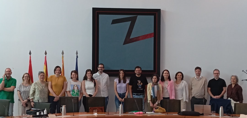
On 21 and 22 April, an in-person meeting of the IPPCP partners took place in Zaragoza, with an agenda focused on reviewing the current status of the project and analysing the main challenges that need to be addressed in order to achieve its objectives.
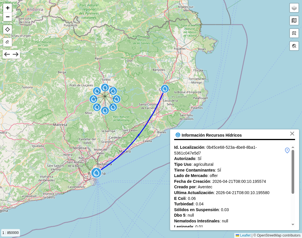
The circular economy has established itself as a key model for moving towards more sustainable, efficient and resilient development. In contrast to the traditional ‘use and throw away’ approach, this paradigm promotes the optimisation of resources, the reduction of waste and the reuse of materials, energy and water, favouring smarter and more connected systems.
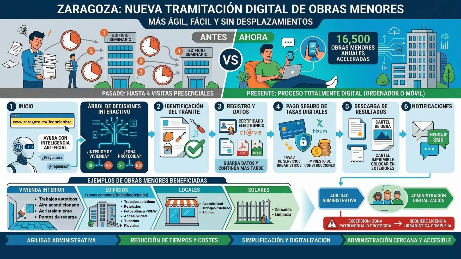
Zaragoza City Council has launched a new web-based application to manage minor building works digitally, enabling the entire process to be completed without the need to visit municipal offices.
We were recently interviewed for a new episode of Mercados Digitales, a programme produced by the Zaragoza Chamber of Commerce and hosted by Pablo Pérez (Aragon Institute of Technology). In this interview, we spoke about our experience within the PADIH programme, where we have been working on a ‘Test Before Invest’ project to develop technology […]
In October 2025, a new multispectral drone flight equipped with sensors was carried out to capture high-resolution images of the plots that had been flown over in June: Cella, Adobes and Zucaina, in order to observe the evolution of the PRI index (Photochemical Reflectance Index, that informs about the photosynthetic efficiency of plants) on the […]
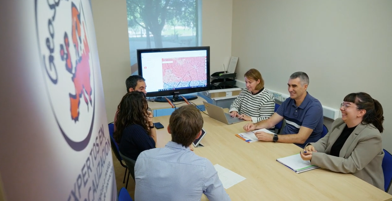
At Geoslab, we are committed to the continuous training of our team. Last week, we organised an internal workshop focused on the use of artificial intelligence in development processes, with the aim of sharing experiences, knowledge and best practices on the most innovative tools and models currently available.
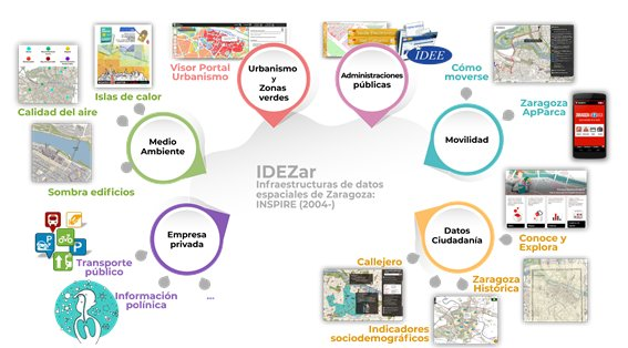
For more than twenty years, Spatial Data Infrastructures (SDIs) have been the basis for organising and sharing geographic information in public administrations. However, digital transformation and the need to make the most of data have driven a new phase: Data Spaces.
GEOSPATIUMLAB S.L. |   |
| INICIO | NUESTRO TRABAJO | - QUÉ HACEMOS | CLIENTES | NOTICIAS | CONTACTO |
| - CASOS DE ÉXITO | |||||
| - PROYECTOS | |||||
| - I+D |
| INICIO | |
| NUESTRO TRABAJO | - QUÉ HACEMOS |
| - PROYECTOS | |
| - I+D | |
| CLIENTES | |
| NOTICIAS | |
| CONTACTO |

0