
BEMAPS AT THE XXIX CONGRESS OF THE SPANISH GEOGRAPHY ASSOCIATION
On Wednesday, 15 October, María Sebastián and María Zúñiga, both geographers and professors at the University of Zaragoza, presented a paper entitled: Design of a web mapping application from the theoretical framework of graphic semiology: BeMaps at the XXIX Congress of the Spanish Geography Association.
In their presentation, they highlighted the important role of maps as a tool for analysis and decision-making in all areas of society and the fact that technology has facilitated the creation of maps by non-expert users, but without guaranteeing their quality and cartographic accuracy.
This is the context in which BeMaps emerged, a tool developed by the GEOT, ARGOS and IAAA research groups at the University of Zaragoza and GEOSLAB, which combines technological accessibility, clarity of representation and respect for classic cartographic principles.
BeMaps: cartographic rigour and usability in the era of web mapping
The expansion of web mapping has made it easier for non-expert users to create maps, but it has also highlighted a shortcoming: a lack of rigour in cartographic design. Many platforms prioritise automation and visual impact, neglecting the principles of graphic semiology and consistency in the representation of spatial data.
Theoretical foundations: from Bertin to the digital environment
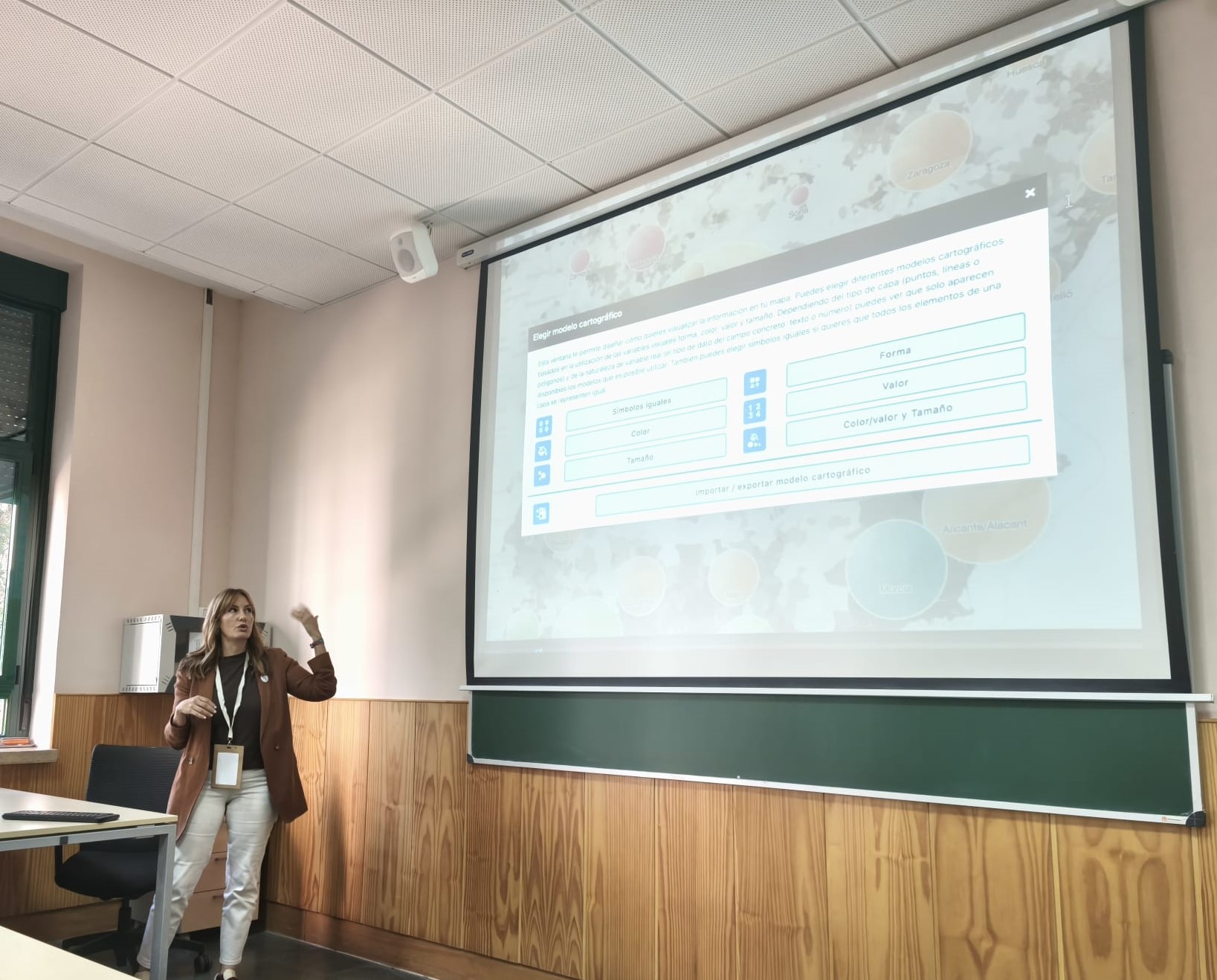
BeMaps is based on Jacques Bertin’s Graphic Semiology (1967), the cornerstone of thematic cartography. Its principles—position, shape, colour, size, and value—are applied in a structured manner, ensuring that each map produced maintains clarity, legibility, and visual consistency.
Unlike traditional GIS, BeMaps does not merely represent data, but encourages thoughtful coding, where each visual decision responds to a semiotic logic.
BeMaps teaches you to think cartographically
Strengths of BeMaps compared to other tools
- Solid theoretical model: The entire design is based on Bertin’s principles and four decades of cartographic research, ensuring accurate and understandable representations.
- Intuitive interface with guided methodology: The process is structured in three phases—data loading, map creation, and publication—accompanying the user with a visual wizard that suggests the most appropriate models according to the type of data.
- Low learning curve: It allows you to create professional thematic maps without the need for advanced knowledge of GIS or programming.
- Expert-validated models: The integrated cartographic models are scientifically verified, reducing conceptual errors common in other automated environments.
- Data control and privacy: BeMaps allows you to keep your maps in secure personal spaces, offering total control over their distribution and access.
Towards reflective and accessible cartography
BeMaps marks a turning point in the development of web mapping, combining theoretical rigour, visual quality and ease of use to offer a tool that restores the value of maps as a means of communication and analysis.
Its guided methodology prevents design errors and promotes conscious cartographic practice, accessible to both professionals and educators.
