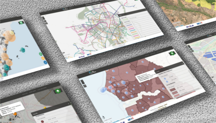
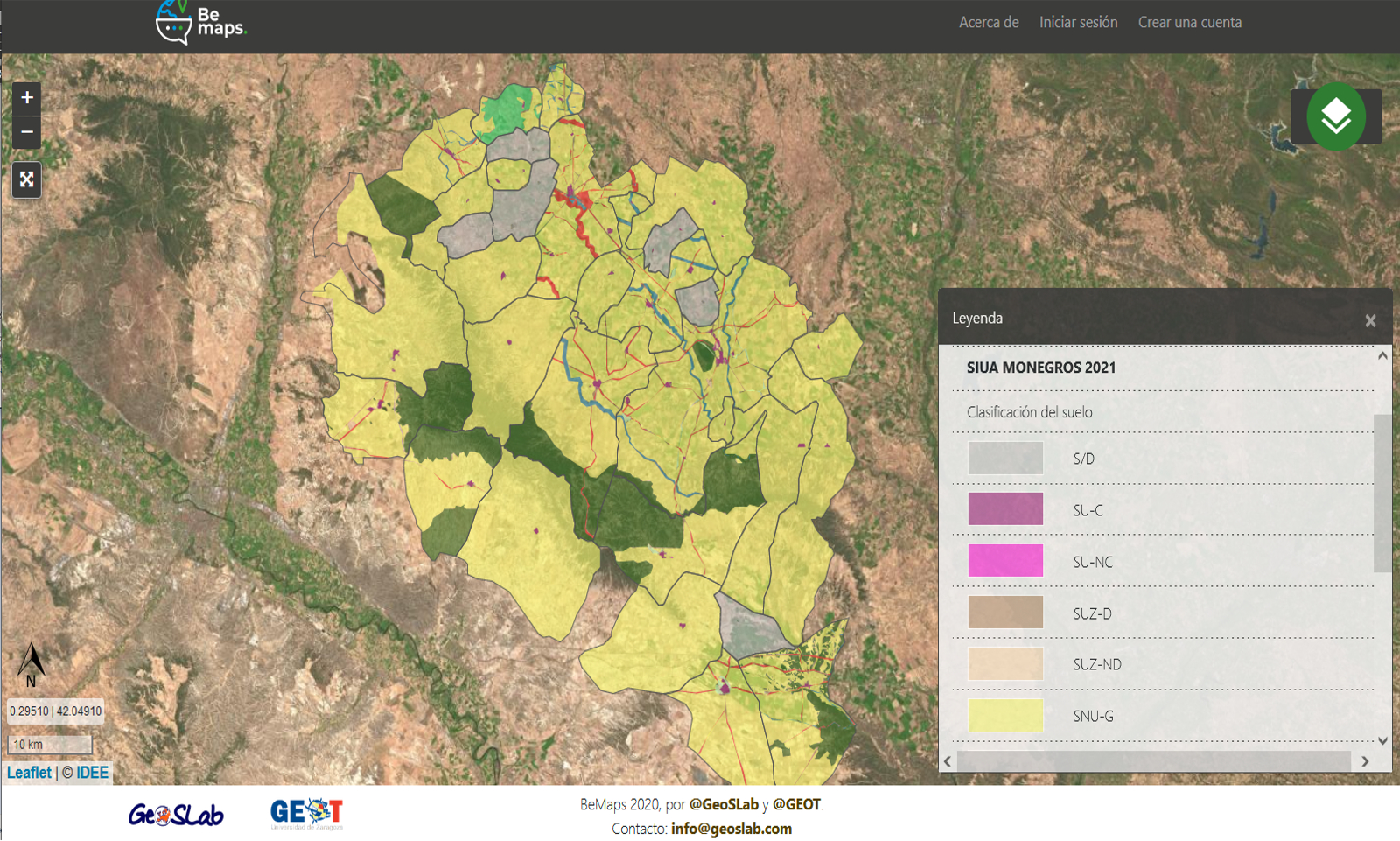
BEMAPS
Web mapping tool to create and share flawless maps in just three steps.
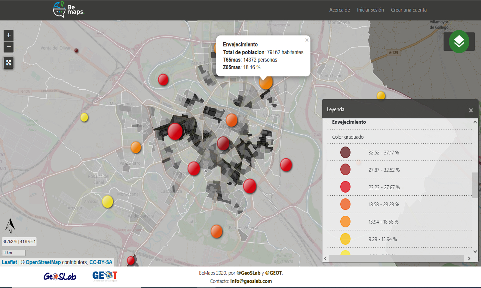
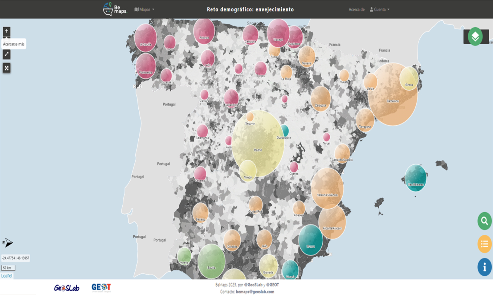
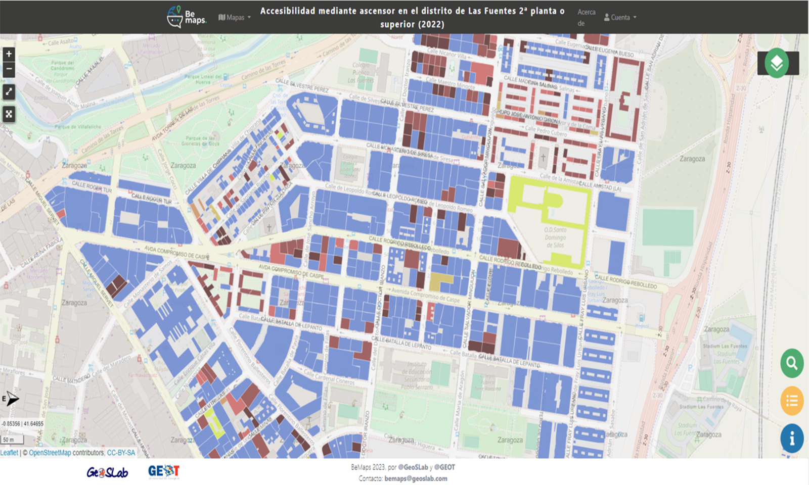
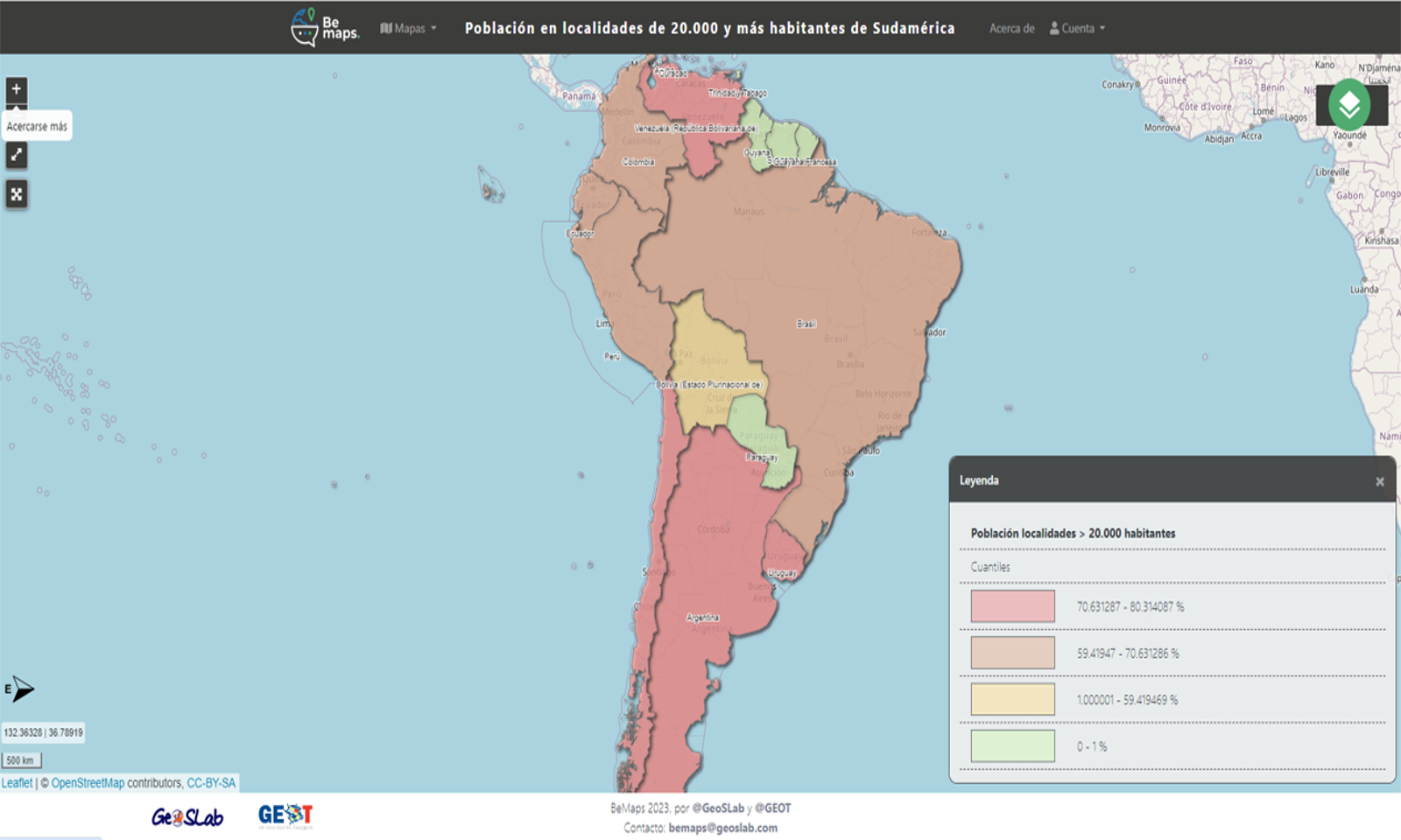
Developed in collaboration with GEOT (Spatial Planning Study Group of University of Zaragoza), it offers a complete set of functionalities to create maps with the highest scientific rigour and visual impact.
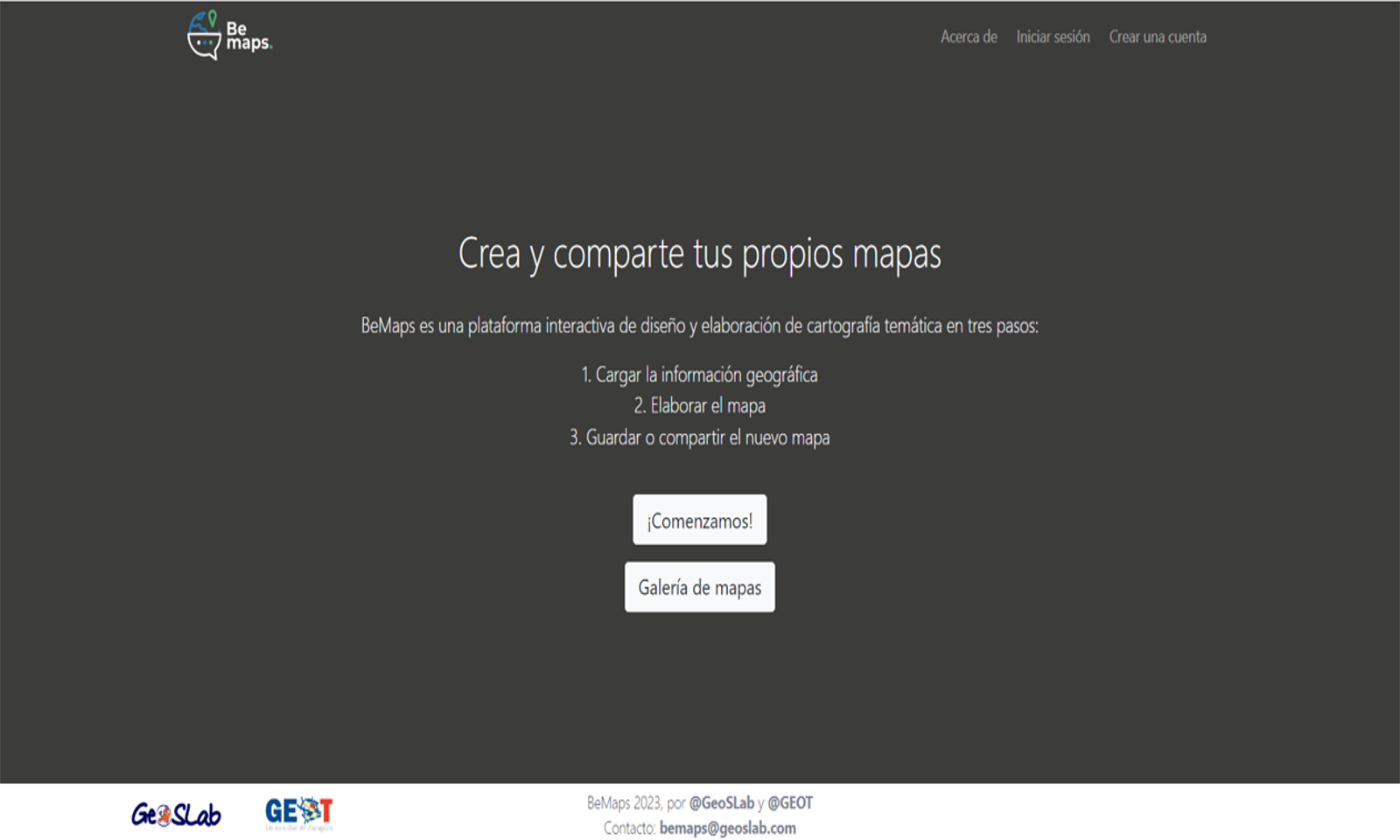
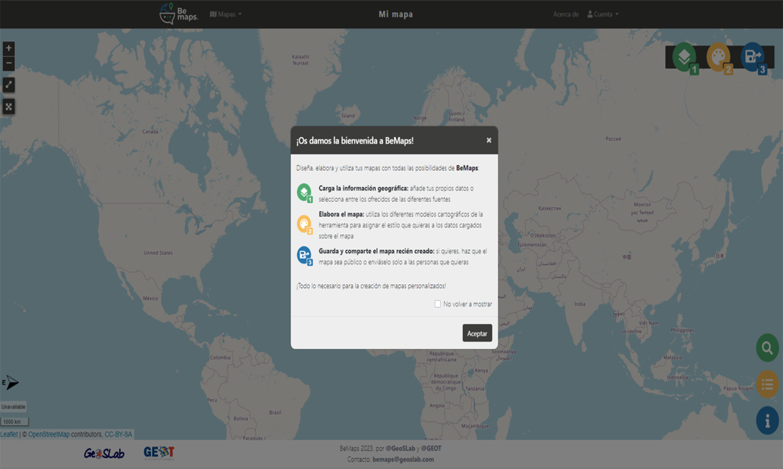
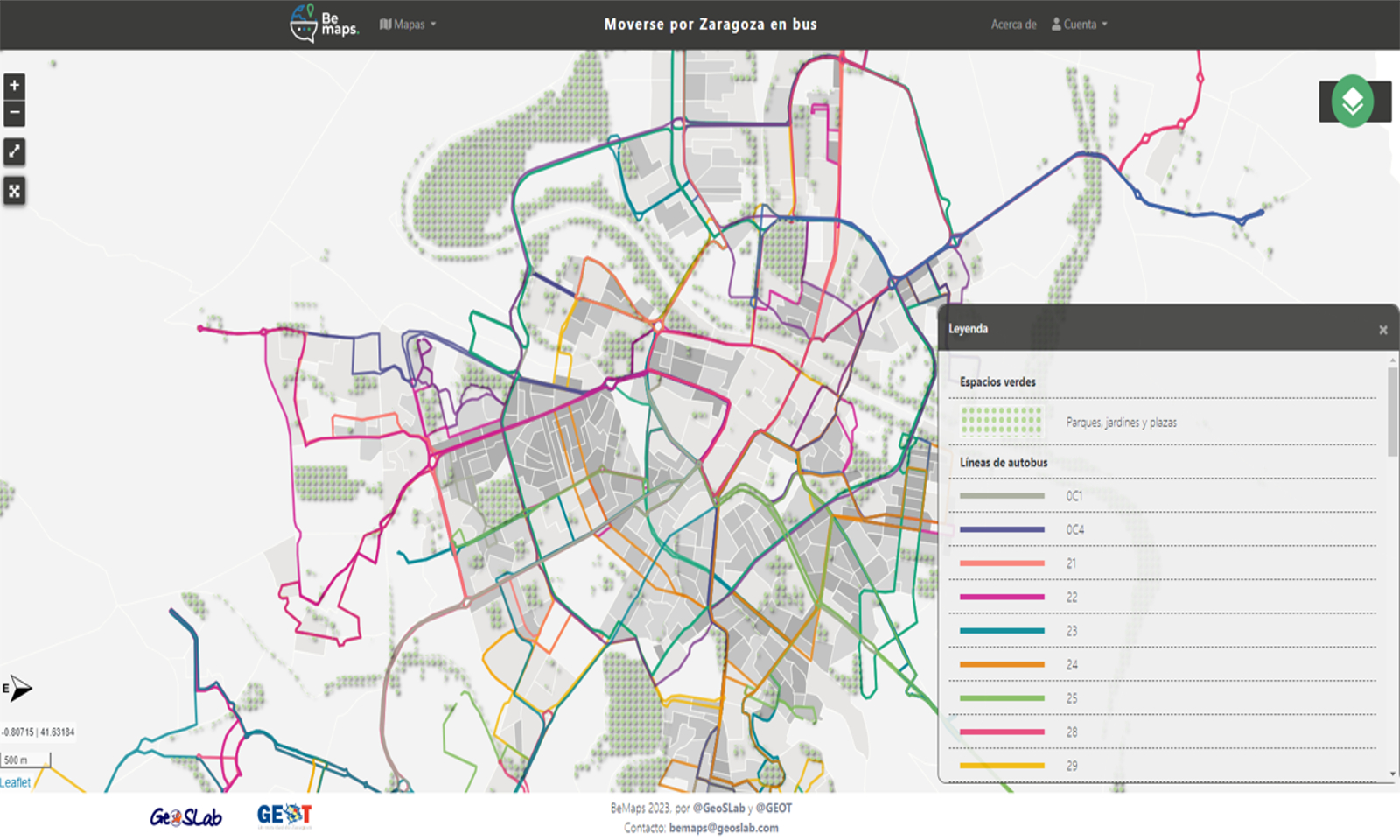
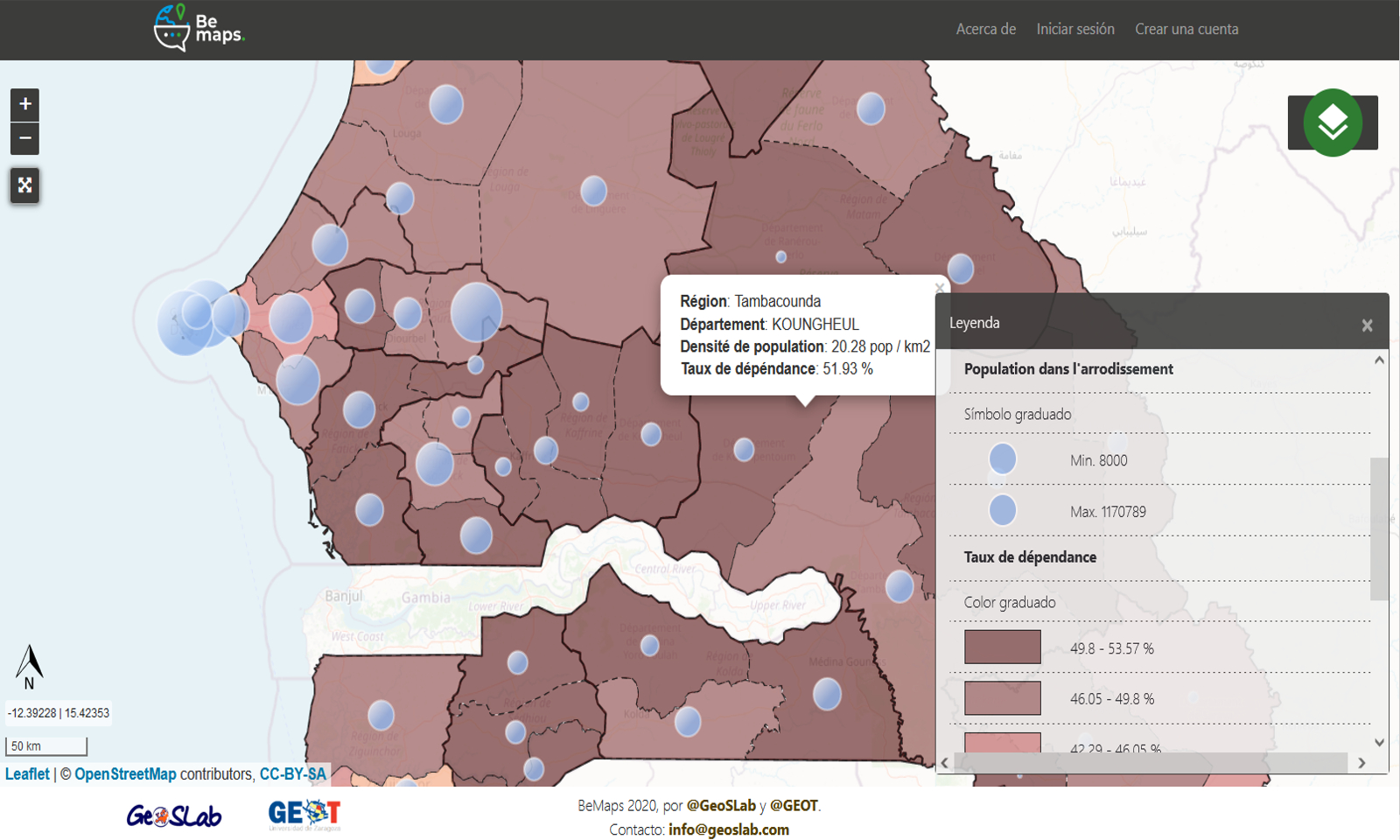
- Load data: You can use your own data or select other available geospatial data sources.
- Create the map: Tools are provided to help style the data displayed on the map as desired.
- Save and/or share: Maps can be private, fully public or can be shared only with chosen people.
Data uploaded to the platform are stored in the user area and each person decides who can see them.
BeMaps is a multiplatform tool and can be used from any device (computer, tablet or mobile).
However, it should be taken into account that the editing and design options are more comfortable from a large screen.
No previous knowledge of GIS (Geographic Information Systems) is required.
The process of creating maps is very intuitive and can be easily followed with the indications provided by the tool itself.
GEOSPATIUMLAB S.L. |
| INICIO | NUESTRO TRABAJO | - QUÉ HACEMOS | CLIENTES | NOTICIAS | CONTACTO |
| - CASOS DE ÉXITO | |||||
| - PROYECTOS | |||||
| - I+D |
| INICIO | |
| NUESTRO TRABAJO | - QUÉ HACEMOS |
| - PROYECTOS | |
| - I+D | |
| CLIENTES | |
| NOTICIAS | |
| CONTACTO |
