SIA ÁLAVA
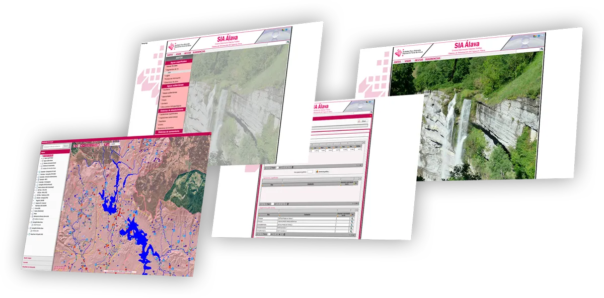
The Water Information System of the Provincial Council of Álava (SIA Álava) is a web tool for the planning and management of the hydrogeological resources of the Historical Territory of Álava.


It provides integrated access to the information generated by the Provincial Council and that of other public administrations (Ministry of the Environment, Ebro River basin authority).
The integration of information sources and the exploitation of data from its geographical dimension make SIA Álava a key tool for the efficient management of water resources and to guarantee the sustainability of the uses made of them.
It includes a viewer that displays the data on the map, a document manager and the ability to generate the reports needed by the various users of the system
GEOSPATIUMLAB S.L. |
| INICIO | NUESTRO TRABAJO | - QUÉ HACEMOS | CLIENTES | NOTICIAS | CONTACTO |
| - CASOS DE ÉXITO | |||||
| - PROYECTOS | |||||
| - I+D |
| INICIO | |
| NUESTRO TRABAJO | - QUÉ HACEMOS |
| - PROYECTOS | |
| - I+D | |
| CLIENTES | |
| NOTICIAS | |
| CONTACTO |
