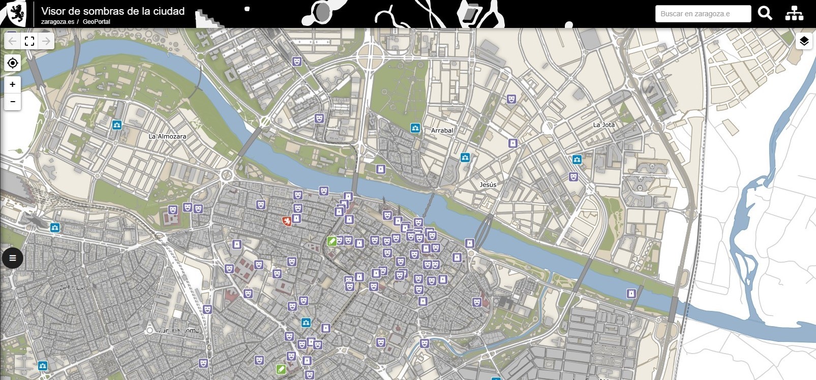
WHERE IS THERE SHADE IN ZARAGOZA?
The city shadow viewer is a new service integrated in IDEZar (Spatial Data Infrastructure of Zaragoza), a project on which Geoslab has been working for more than 10 years, both in its maintenance and in the development of new functionalities and technological evolution.
This new tool allows you to identify shaded streets at any time of the day – especially useful for enjoying outdoor activities in the hottest months of the year.
Based on WMS standards, it allows us to know the elevation of the buildings in Zaragoza, their height and the shadow they cast on the street at any time of the day. The date can be varied to check the movement of the shadow throughout the year. It also shows the city’s facilities and allows access to their detailed file.
This viewer is a different way of showing the city that will allow citizens, social agents and municipal managers themselves to make decisions that can range from planning a route for walking in the shade in summer to identifying the most suitable places to place benches where the sun shines in winter.
In the media:
https://www.zaragoza.es/sede/servicio/noticia/301442
https://datos.gob.es/es/aplicaciones/visor-interactivo-de-zaragoza
https://blog-idee.blogspot.com/2021/04/altura-y-sombra-de-los-edificios-en.html


