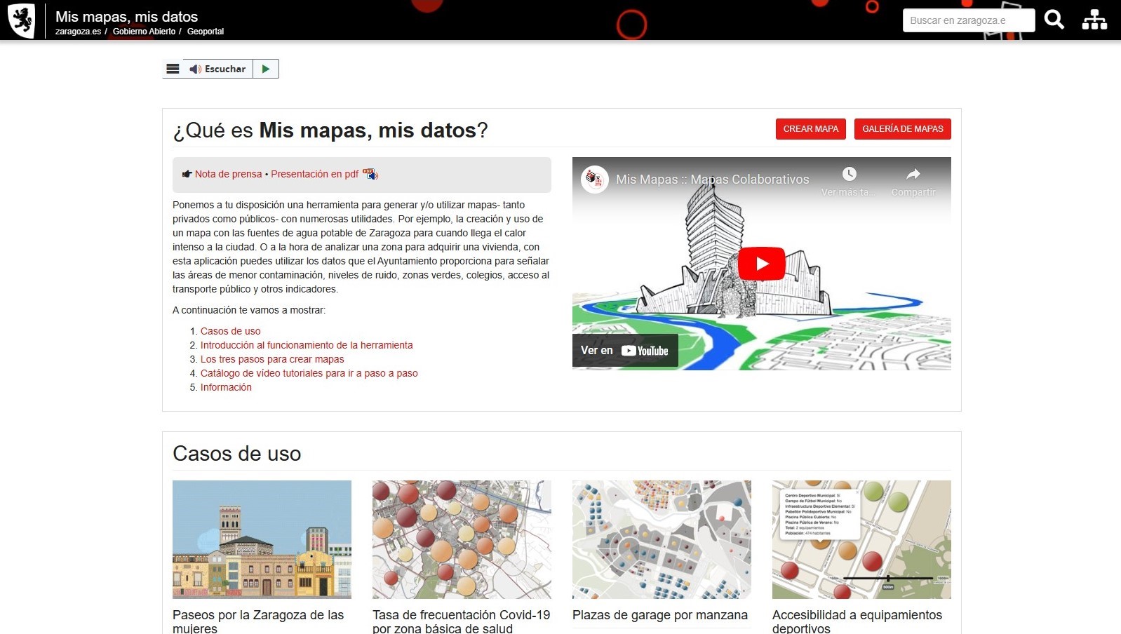
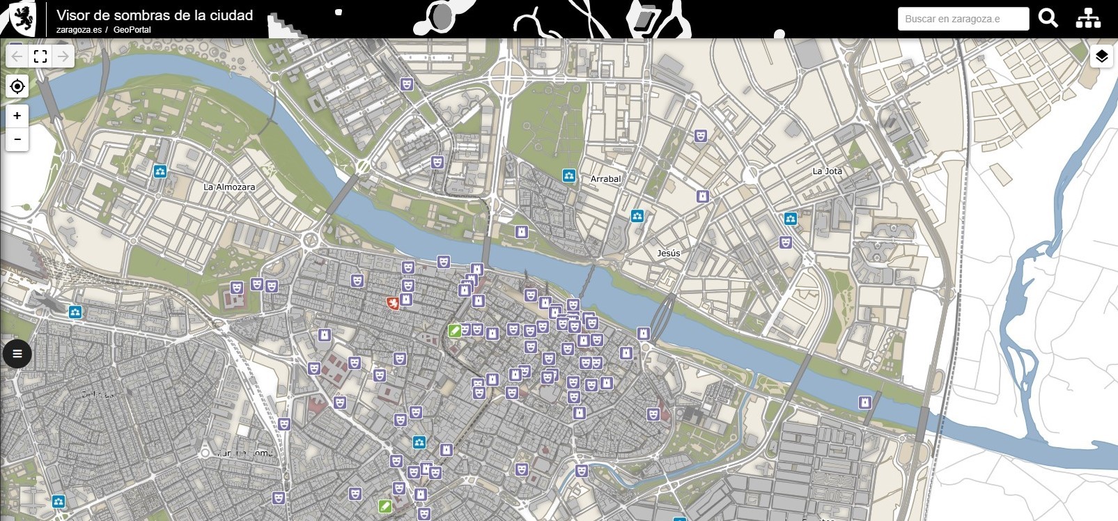
Zaragoza City Council is launching a pioneering application that will allow users to design and share interactive maps of the city using the Council’s own open data sets or other sources of information.
This website uses cookies so that we can provide you with the best user experience possible. Cookie information is stored in your browser and performs functions such as recognising you when you return to our website and helping our team to understand which sections of the website you find most interesting and useful.


0